Chesapeake Bay Climate Adaptation Toolbox (CBCAT)
A tool focusing on Mid-Atlantic climate adaptation that is designed to help users identify the most appropriate and relevant decision-support tools for their needs.
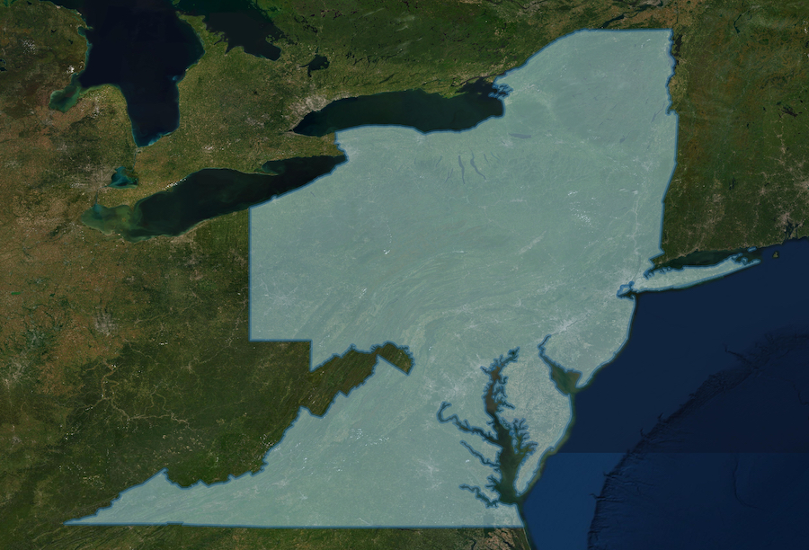
Mid-Atlantic communities are facing a changing climate with increasing hazards from extreme heat, heavy downpours, rising sea levels, and storm surge. Listed here are a variety of resources developed by the MARISA team that can help users understand, plan, and prepare for these and other hazards.
A tool focusing on Mid-Atlantic climate adaptation that is designed to help users identify the most appropriate and relevant decision-support tools for their needs.
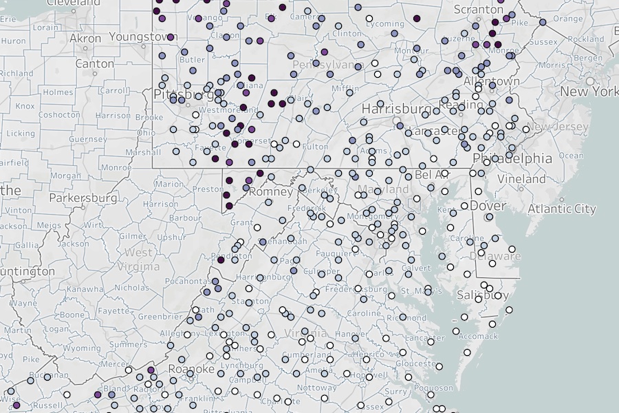
A tool designed specifically to address the substantive and communications needs of individuals developing hazard mitigation plans as required by FEMA.
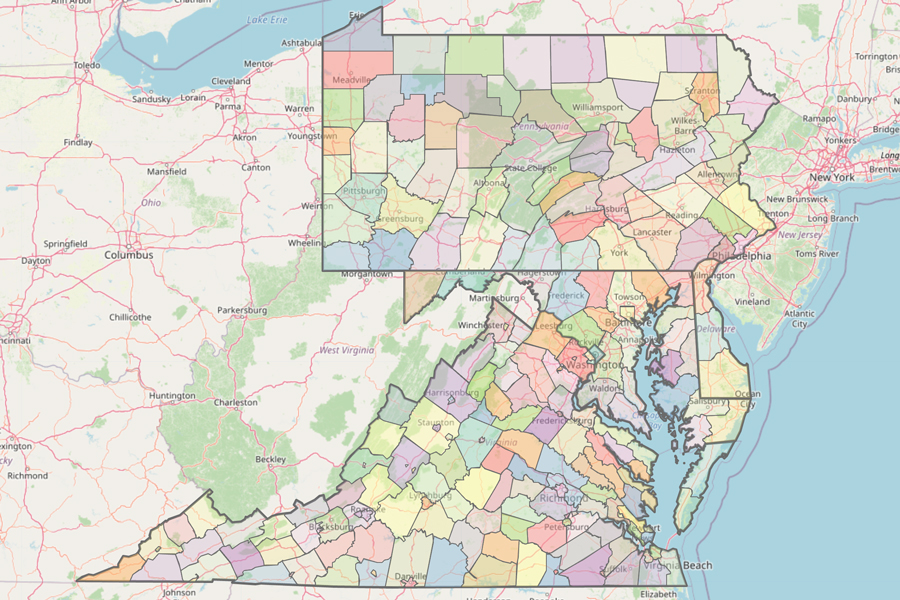
An outreach product that provides information on climate change and its associated impacts for counties and selected cities in Delaware, Maryland, Pennsylvania, Virginia, and Washington, DC.
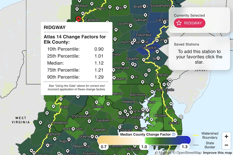
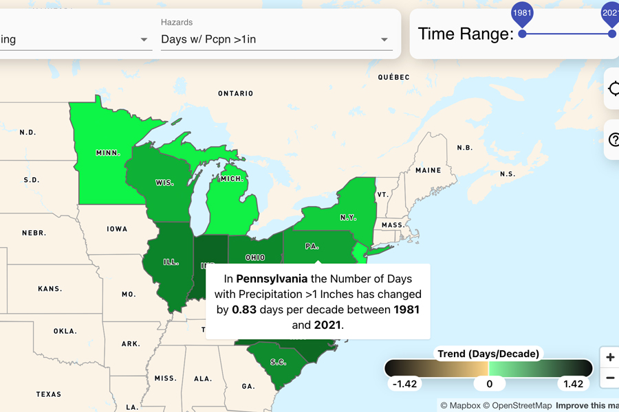
An interactive tool that makes climate-change informed intensity-duration-frequency (IDF) curves available to view and download for counties across the Chesapeake Bay Watershed and Virginia.
A quarterly series detailing the past season's weather and climate events for the greater Mid-Atlantic region. Includes topical deep-dives and interactive data tools.
A collection of models, with a filter function, that are relevant for water management and decision making in the Chesapeake Bay Watershed and Mid-Atlantic region.
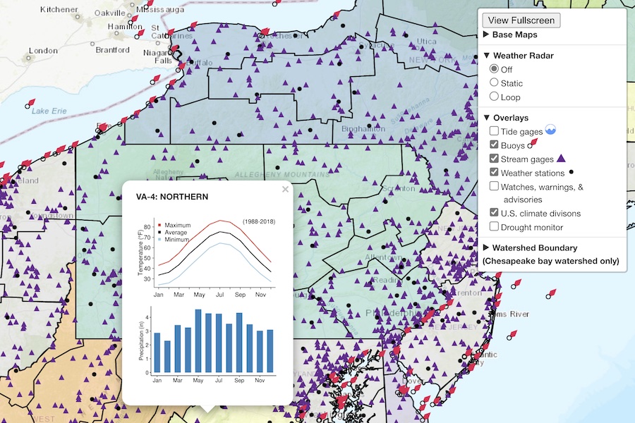
Provides an easy-to-use interface for accessing a broad range of current weather, hydrological, and ocean data, as well as NOAA watches and warnings, for the Chesapeake Bay Watershed and surrounding regions.