Chesapeake Bay Climate Adaptation Toolbox
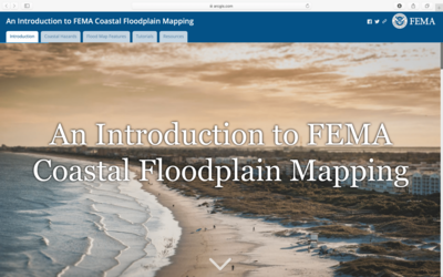
Introduction to FEMA Coastal Floodplain Mapping

Developed By: Federal Emergency Management Agency (FEMA)
Summary: This educational tool describes how coastal risks are shown on Flood Insurance Rate Maps (FIRMs, or flood maps) and teaches users how to interpret coastal flood maps.
The tool introduces coastal hazards and describes common flood map features in coastal areas. The tool also provides simple tutorials/examples to teach users how to how to identify the flood zone and Base Flood Elevation (BFE) of coastal structures. Users can also find links to additional resources to help evaluate flood risk in their community.
Get This Tool: https://arcg.is/18mC1m0
Geographic Coverage
- Applicable Anywhere Coastal
Tags
- Website
Cost
- Free
Skill Level
- Low