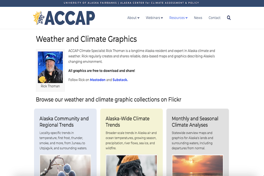
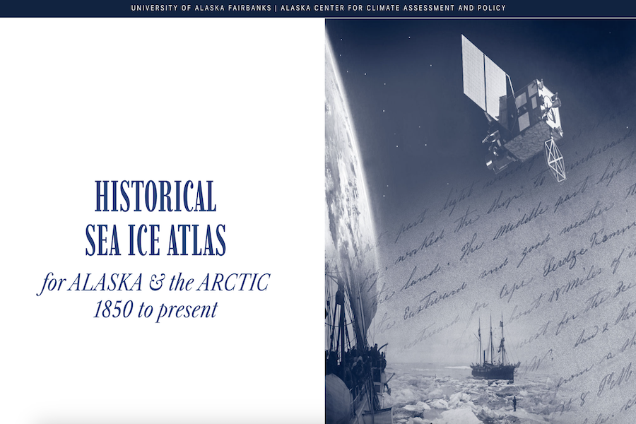
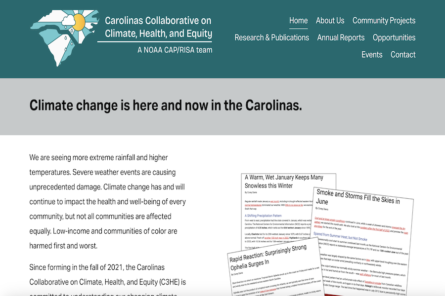
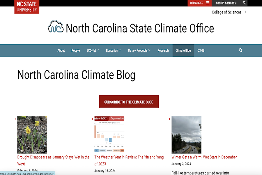
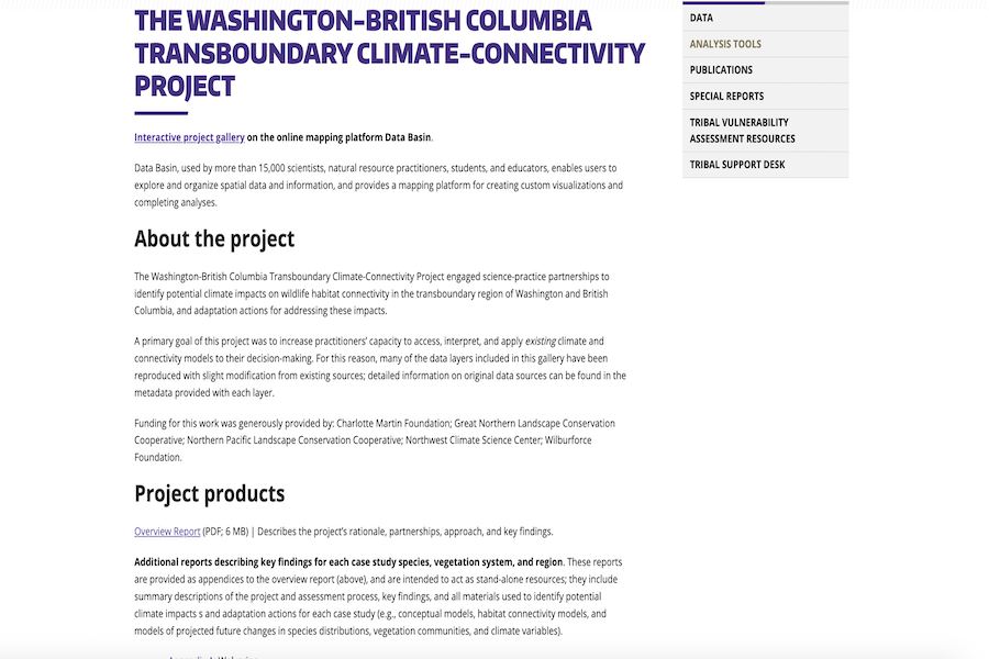
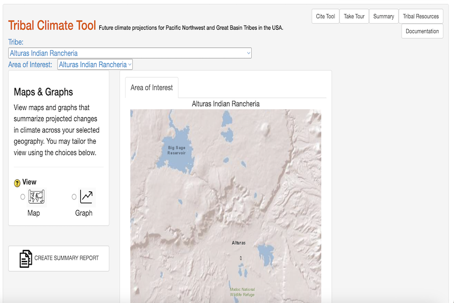
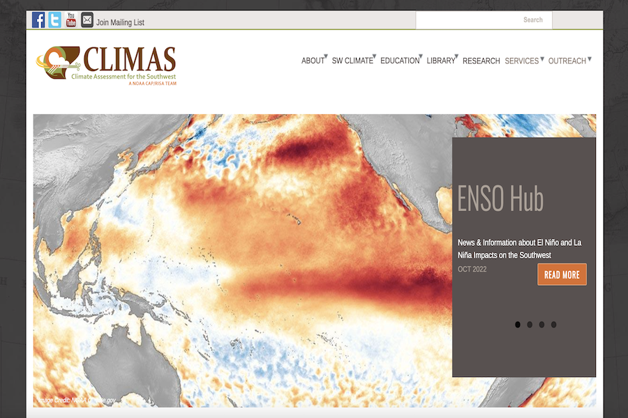
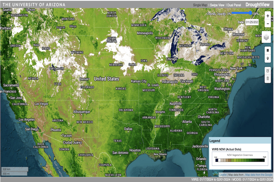
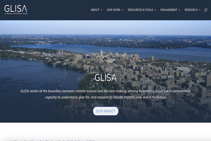
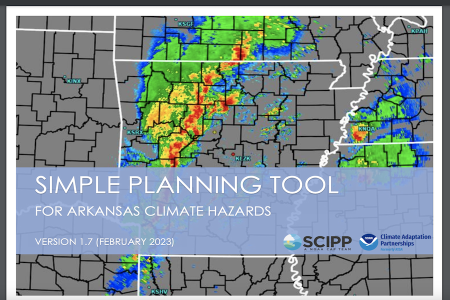
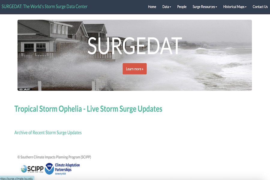
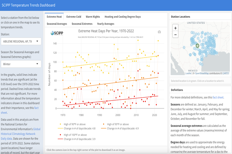
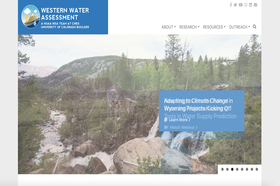
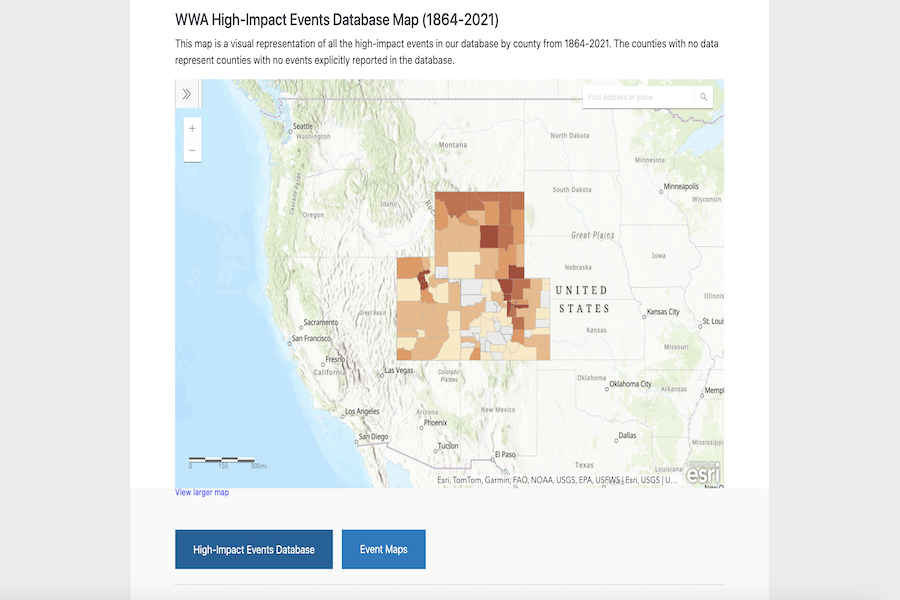
Other Resources

Listed here are resources developed by other CAP/RISA teams that can help users understand, plan, and prepare for hazards across the nation. Please contact the MARISA team if you would like to see a tool below adapted for the Mid-Atlantic region.

ACCAP: Alaska Center for Climate Assessment and Policy

Alaska Center for Climate Assessment and Policy

A NOAA CAP/RISA Team for Alaskan Communities.

Alaska Community Wind Data

Hourly wind data recorded between 1980-2015 for 67 Alaska communities.

Alaska Statewide Temperature Index

Average temperature across Alaska each day compared to the historical average.

Alaska Weather & Climate Highlights Map

Weather and climate events in Alaska and surrounding waters from 2007 to the present.

Alaska Weather and Climate Graphics

Data-based maps and graphics describing Alaska’s changing environment.

Historical Sea Ice Atlas

Arctic sea ice extent and concentration data from mid-1800s to today.

C3HE: Carolinas Collaborative on Climate, Health, and Equity

Carolinas Collaborative on Climate, Health, and Equity

A NOAA CAP/RISA Team for the Carolinas.

North Carolina Climate Blog

Climate summaries, seasonal outlooks, and more discussed for North Carolina.

CCRUN: Consortium on Climate Risk in the Urban Northeast

Consortium on Climate Risk in the Urban Northeast

A NOAA CAP/RISA Team for communities in the urban northeast region.

AdaptMap

An online mapping tool that demonstrates how sea level rise will worsen storm-driven flooding.

Climate Summary Gauges

Climate conditions at stations throughout the Northeast.

Climate Vulnerability Decision Support Tools

A spreadsheet to assist in identifying appropriate climate data sources and tools based on a variety of coastal and climate risk factors in the CCRUN region.

Hudson River Flood Impacts Decision Support System

Potential flooding in the Hudson River Valley under different sea level rise and storm scenarios.

New York State Building Footprints with Flood Analysis

Flood and damage assessments of building footprints and critical infrastructure in New York state.

CLIMAS: Climate Assessment for the Southwest

Climate Assessment for the Southwest

A NOAA CAP/RISA Team for the Southwest U.S.

Droughtview

Interactive drought map.

New Mexico Agroclimate

ZiaMet Weather Station Network of New Mexico.

Paleoclimate Tool

Visualizes the climate variability during the past 1,000 years in Arizona and New Mexico.

Rainlog

Cooperative rainfall monitoring network for Arizona reporting daily total rainfall amounts.

Southwest Climate Outlook

Monthly climate outlooks for the Southwest.

SPI Tool

Explore Standardized Precipitation Index (SPI) values at specific locations to estimate local precipitation time series.

Treeflow

Resource for tree-ring reconstructions of streamflow and climate.

Westmap

Climate analysis and mapping toobox for the West.

CNAP: California-Nevada Applications Program

California-Nevada Applications Program

A NOAA CAP/RISA Team for communities in California and Nevada.

Calclim

Climate monitoring and data access for the state of California.

California and Nevada Climate Tracker

Statewide and regional temperature and precipitation maps and time series graphics based.

Great Basin Dashboard

Many sources of weather and climate information pertinent to the Great Basin in one convenient location.

Westwide Drought Tracker

Statewide and regional maps and time series graphs of temperature, precipitation and drought indices based on the PRISM dataset.

GLISA: Great Lakes CAP/RISA

Great Lakes CAP/RISA

A NOAA CAP/RISA Team for Great Lakes Communities.

Adaptation Monitoring and Evaluation Toolkit

An introductory toolkit for adaptation professionals who are interested in exploring monitoring and evaluation.

Climate Scenarios for the Great Lakes Region

Climate change scenarios for the Great Lakes region tailored to specific stakeholder audiences for use in adaptation planning.

Great Lakes Adaptation Data Suite (GLADS)

GLADS protal provides descriptions and access to public climate datasets for download for use in adaptation and resilience.

Great Lakes Climate Impacts

Summarized impacts of climate change in the great Lakes region.

Great Lakes Climatologies

Summaries of climatology data for stations, climate divisions, and each Great Lakes in an interactive map.

Great Lakes Practitioner Guides

Guides developed with and for practitioners in the Great Lakes to increase the usability of climate information needed in adaptation planning.

Great Lakes Summary Climate Information

Documents and webpages summarizing information about climate change in the Great Lakes region.

Tools for City Adaptation

A list of recommended resources, tools, and examples how to use resources from GLISA and other partners.

NCRC: Northwest Climate Resilience Collaborative

Northwest Climate Resilience Collaborative

A NOAA CAP/RISA Team for the Pacific Northwest Communities.

Changing Streamflow in Icicle, Peshastin, and Mission Creeks

Monthly and daily projected streamflow to identify collaborative solutions to water management in Icicle Creek.

Climate Impacts Group Datasets

Hydro-climatic data at various spatial scales for historical and projected conditions in the Pacific Northwest and regions extending beyond the Pacific Northwest.

Climate Mapping for a Resilient Washington

County level projected changes in the climate and related natural hazards in Washington state.

Climate Robust Culvert Design: Probabilistic estimates of Fish Passage Impediments

Tool to explore the impacts of climate change on culvert design and fish passage in the Pacific Northwest.

Heavy Precipitation Projections for use in Stormwater Planning

Extreme precipitation projections across the Pacific Northwest.

Pacific Northwest Climate Projection Tool: Average projected changes in temperature and precipitation in the PNW and the globe

Projected change in average annual temperature and average annual precipitation for the Pacific Northwest and the globe.

Seattle City Light Historical Climate Trends: What changes have we seen so far in the Northwest?

Projected changes in temperature, precipitation, snow, and streamflow for a selection of sites and metrics that are of interest to Seattle City Light.

Tableau Northwest Climate Trends Tool: What are the trends in temperature, precipitation and snow water equivalent in Northwest?

Monthly, seasonal or annual trends in maximum, average or minimum temperature, total precipitation and first of the month snow water equivalent for stations across the Pacific Northwest

Tribal Climate Tool: Future climate projections for Pacific Northwest and Great Basin Tribes

Designed for tribes in the Pacific Northwest and Great Basin, US, this too depicts projected climate change impacts.

Pacific RISA: Pacific Research on Island Solutions for Adaptation

Pacific Research on Island Solutions for Adaptation

A NOAA CAP/RISA Team for Pacific Island Communities.

Hawai‘i Climate Data Portal

Near-real-time monthly rainfall and daily temperature maps for the State of Hawai‘i.

Hawaiʻi Drought Monitor

Drought monitor of Hawai'i.

Pacific ENSO Applications Climate Center (PEAC)

Impacts and long-term projections of the El Niño – Southern Oscillation (ENSO) climate cycle.

Pacific Island ENSO Fact Sheets

El Niño fact sheets for Hawaii and the Pacific Islands.

Pacific Islands Integrated Ocean Observing System (Pac-IOOS)

Regional observing program for the Pacific Islands.

PacificIslandsClimate.org (PIKO)

Summaries of programs, projects, activities, and products related to climate in the Pacific Islands.

Rainfall Atlas of Hawai‘i

Interactive maps of spatial patterns of rainfall for the major Hawaiian Islands.

SCIPP: Southern Climate Impacts Planning Program

Southern Climate Impacts Planning Program

A NOAA CAP/RISA Team for the South Central U.S.

Average Monthly Temperature and Precipitation Tool

Interactive tool to compare temperature and precipitation for a particular year to climate averages for any state in the US.

Historical Climate Trends Tool

Precipitation and temperature trends from 1895 to Present for any state in the lower 48.

Simple Planning Tool for Arkansas Climate Hazards

Interactive tools, maps, and graphs relevant to hazards in Arkansas.

Simple Planning Tool for Louisiana Climate Hazards

Interactive tools, maps, and graphs relevant to hazards in Louisiana.

Simple Planning Tool for Oklahoma Climate Hazards

Interactive tools, maps, and graphs relevant to hazards in Oklahoma.

Simple Planning Tool for Texas Climate Hazards

Interactive tools, maps, and graphs relevant to hazards in Texas.

Southern US Drought Tool

Drought severity and precipitation statistics in the SCIPP region.

SURGEDAT: The World's Storm Surge Data Center

Global storm surge database with records since 1880.

Temperature Trends Dashboard

Seasonal, extreme, and annual temperature data and trends at locations across the SCIPP region for the period 1970-2022.

WWA: Western Water Assessment

Western Water Assessment

A NOAA CAP/RISA Team for the Intermountain West.

Colorado River Resources

Selected research papers, reports, and other resources of Colorado River Basin climate, hydrology, and the potential impacts of future climate change.

High-Impact Events Database

A collection of significant weather and climate-related events in the Western Water Assessment region including avalanches, cold waves, dam failures, droughts, floods, hail, high winds, landslides, tornadoes, wildfires, and winter storms.

Intermountain West Climate Dashboard

Daily, weekly, or monthly summaries of evolving climate, drought, and water conditions and resources for the Intermountain West (Colorado, Utah, and Wyoming).

Rocky Mountains–High Plains Climate Dashboard

Maps and graphics of climate, drought, agricultural conditions, and water-supply monitoring for Montana, Wyoming, Utah, Colorado, North Dakota, South Dakota, Nebraska, and Kansas.

Utah Hazard Planning Dashboard

A compilation of interactive information tools, maps, and graphics about natural hazards in Utah and their historical incidence, current risk, and future projections.