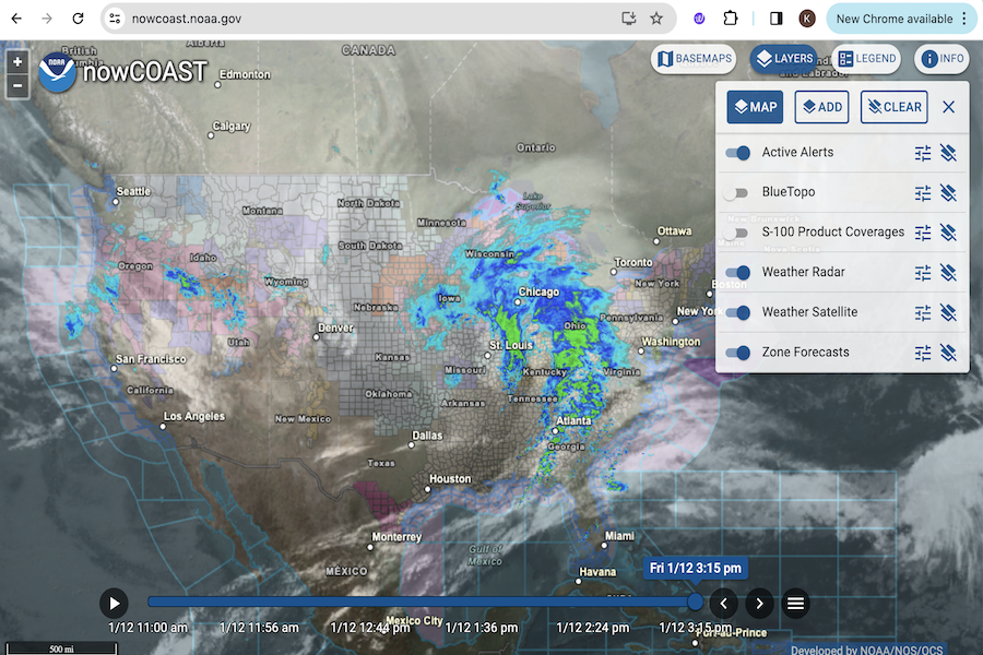
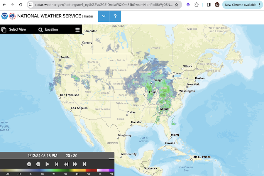
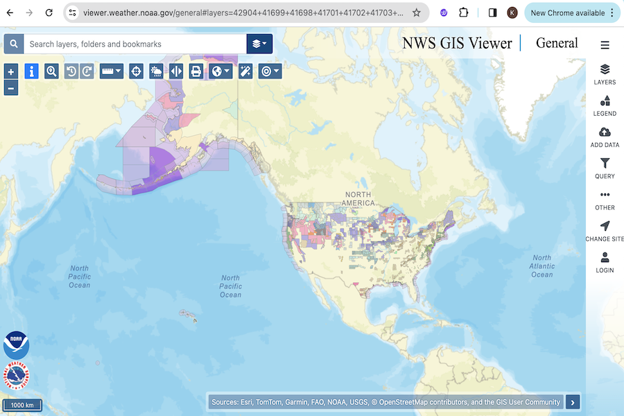
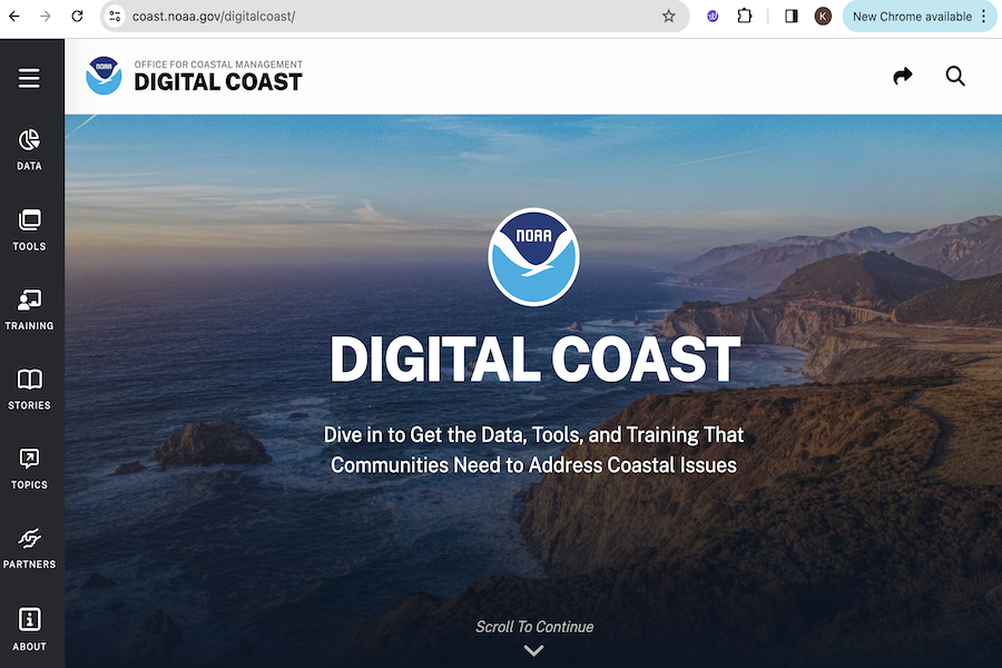
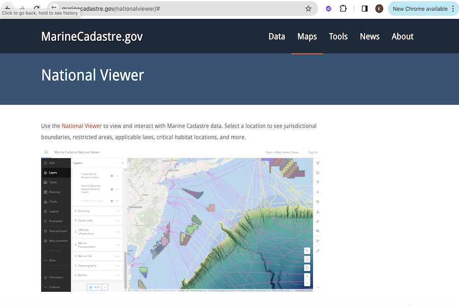
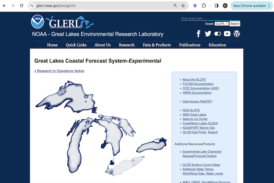
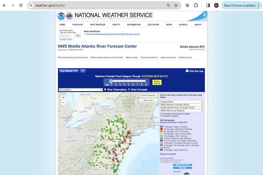
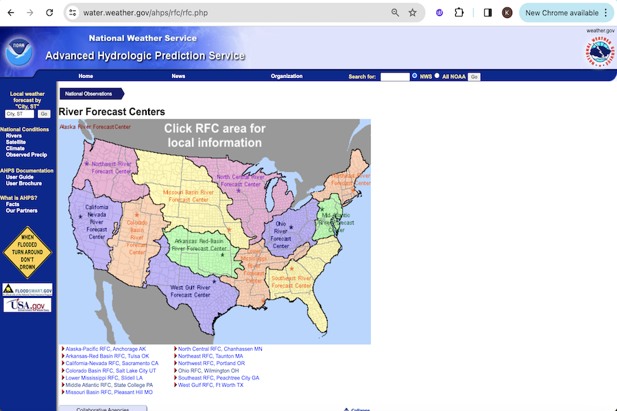
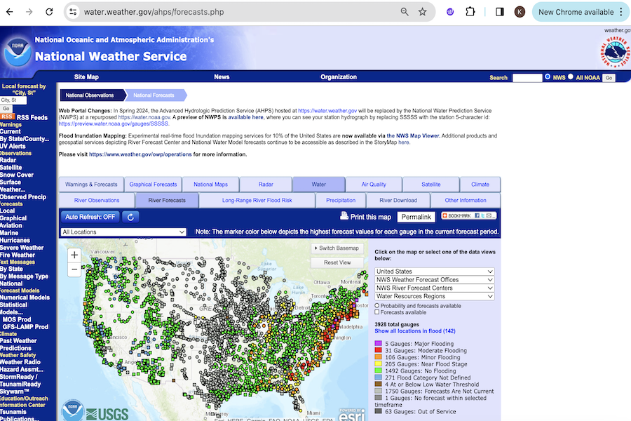
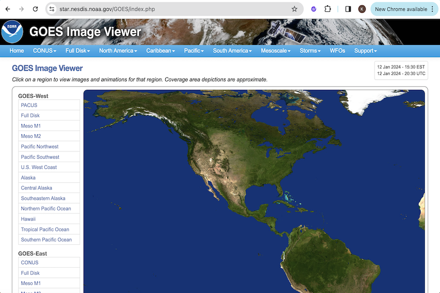
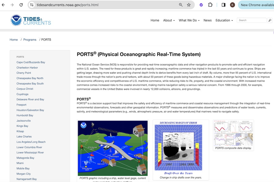
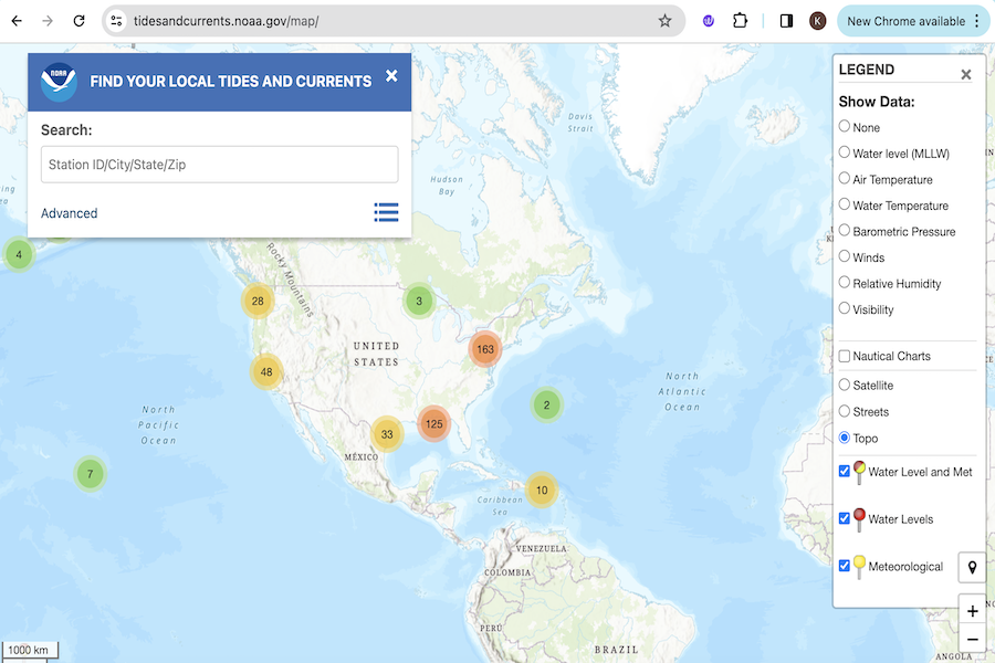
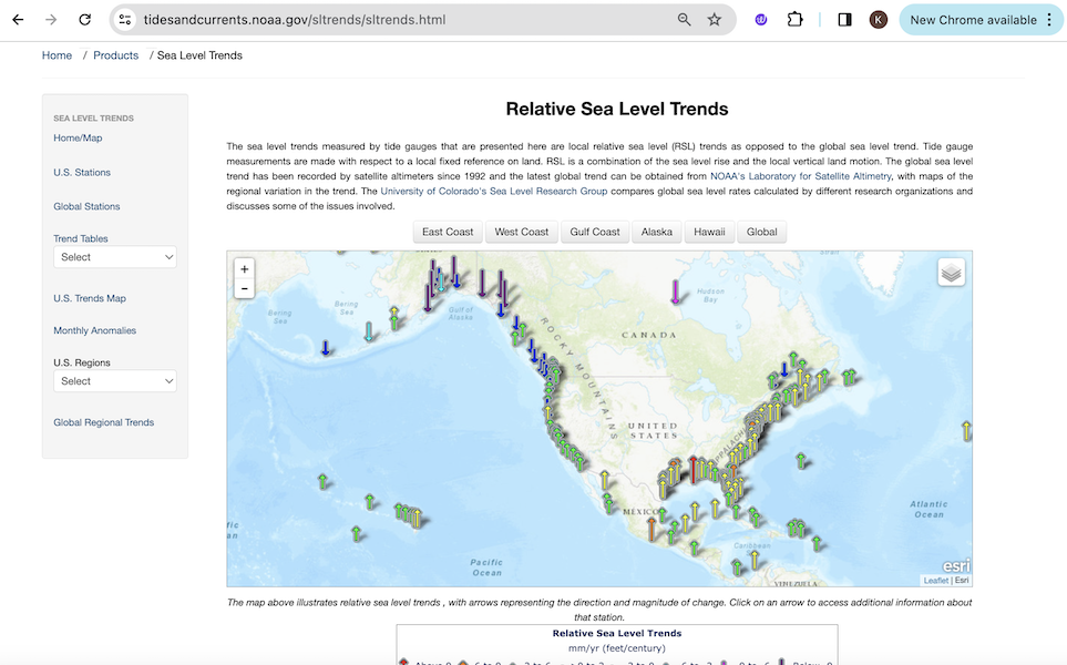
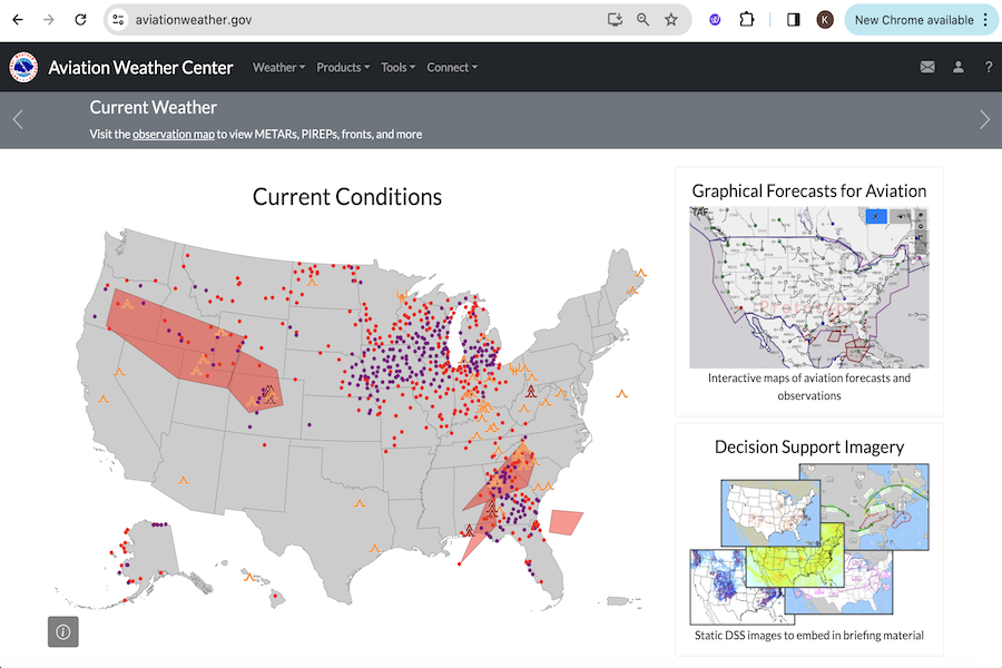
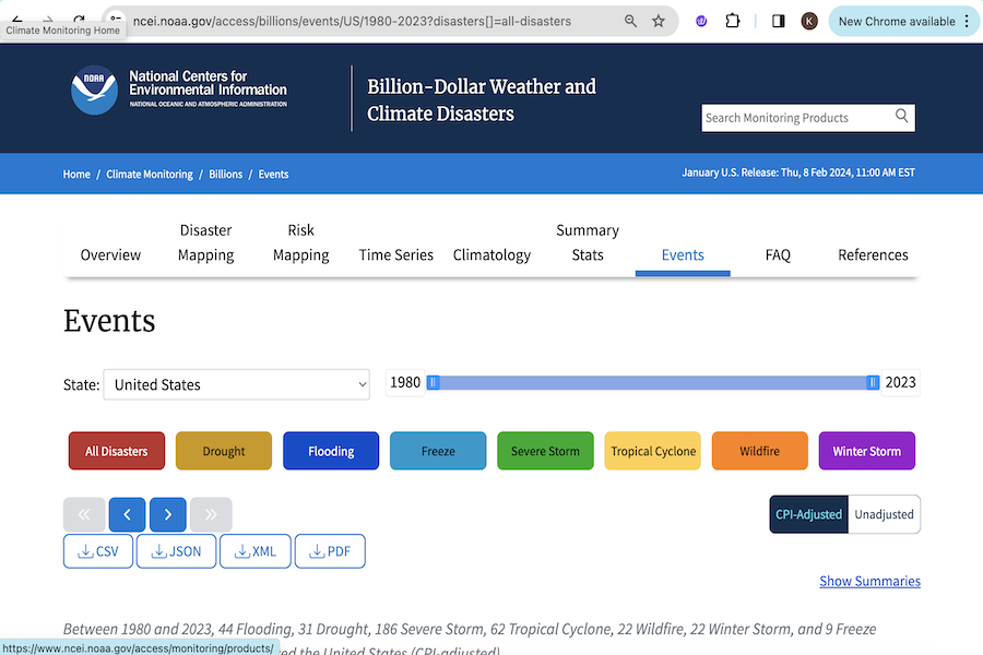
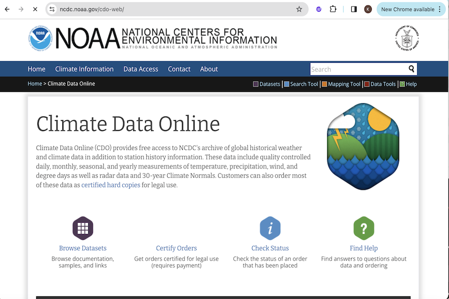
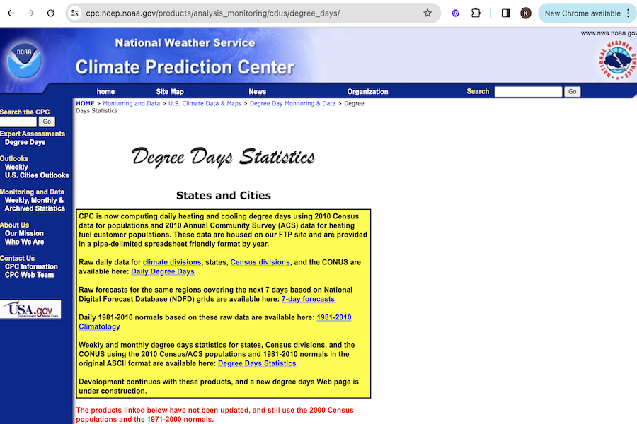
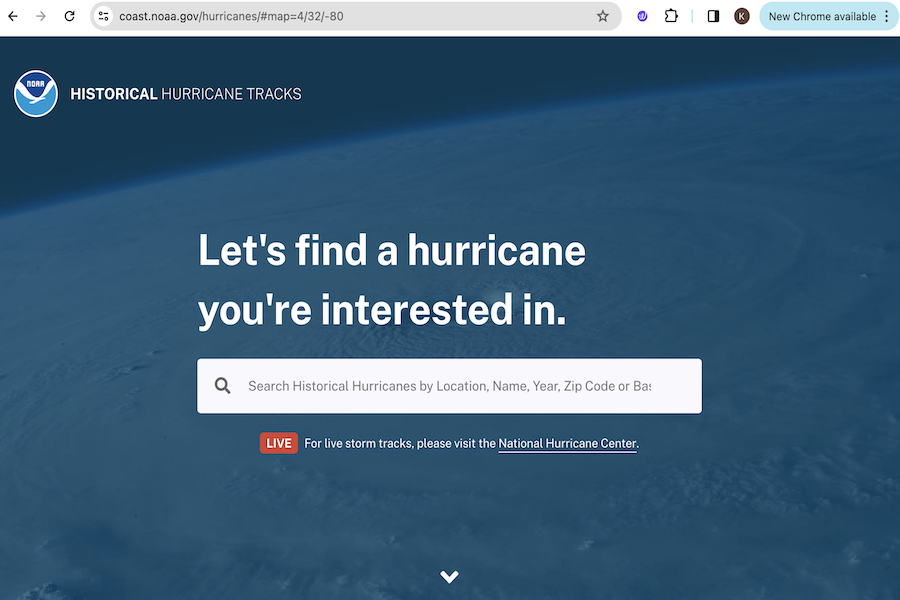
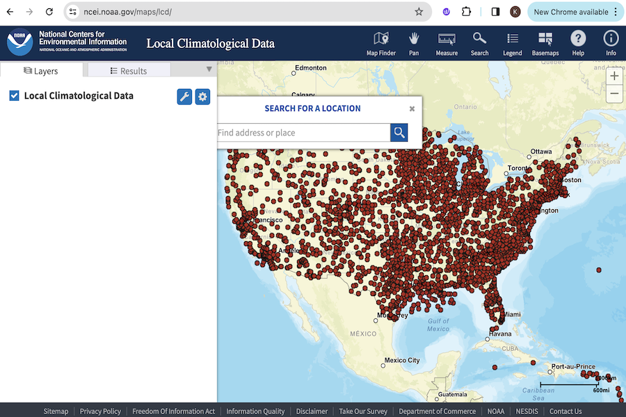
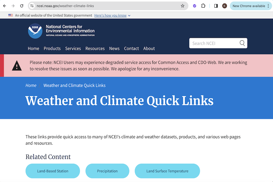
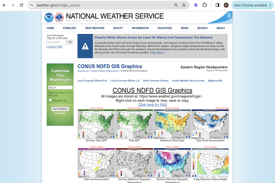
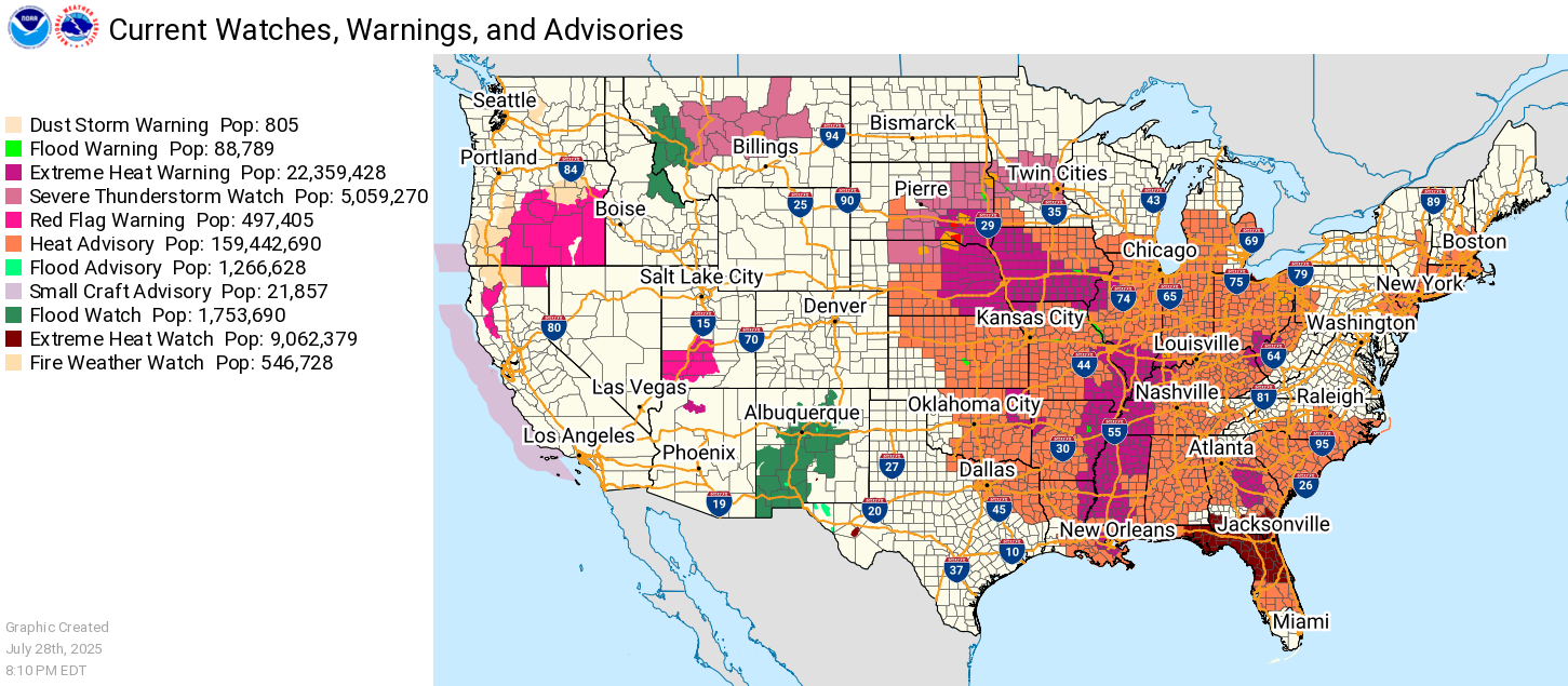
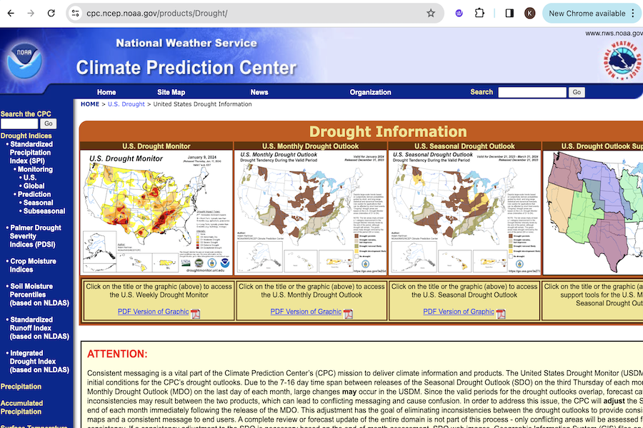
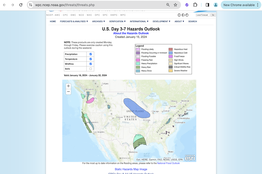
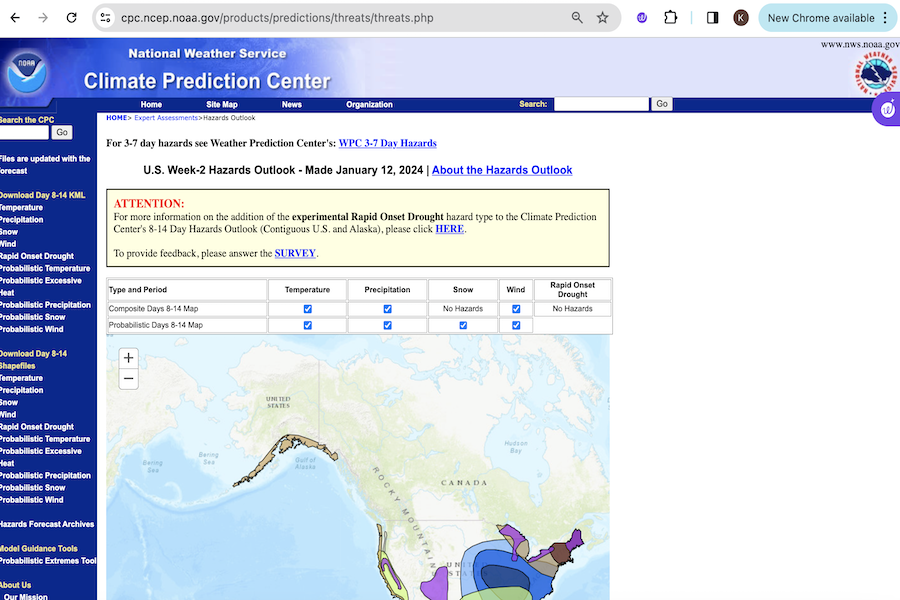
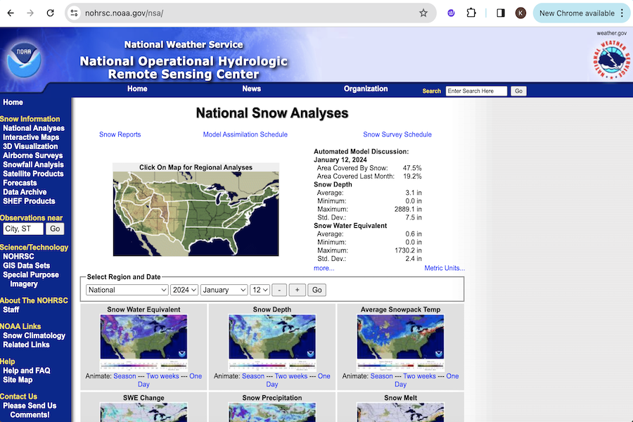
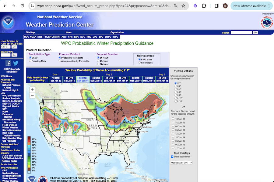
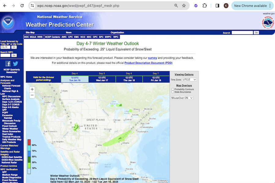
NOAA Resources

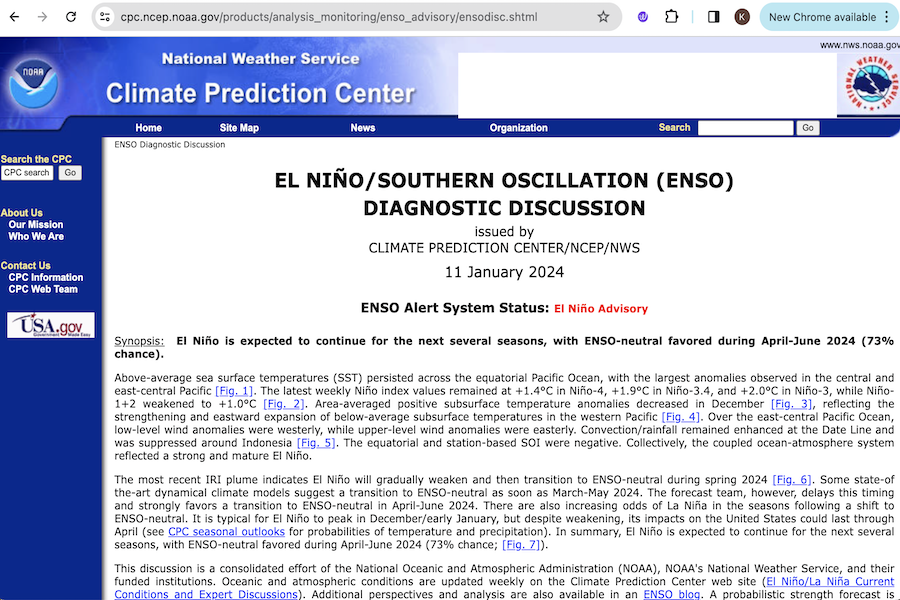
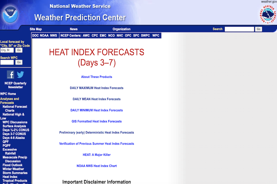
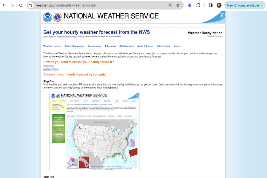
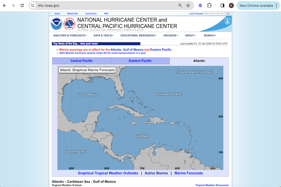
A variety of great resourses exist beyond the ones developed by the MARISA team. Listed here are resources developed by NOAA that can help users understand, plan, and prepare for hazards in the Mid-Atlantic and across the nation. A full list of NOAA tools can be found on their tools and resources page.

Climate and Weather Reports

Climate.gov

Climate stories, maps and images.

Monthly Climate Reports

A collection of monthly summaries recapping climate-related occurrences on both a global and national scale.

National Climate Assessment

Information on the risks, impacts, and responses to climate change in the United States.

Storm Reports

Daily reports of information on tornadoes, wind, and hail.

Educational Portal

Weather Basics: Severe Weather 101

Educational tool explaining the basics of severe weather.

Interactive Map Viewer and Radar

NowCOAST

Mapping portal linking to thousands of real-time coastal observations and NOAA forecasts.

NWS Live Radar

The NWS Radar site displays the radar on a map along with forecast and alerts.

NWS National GIS Map Viewer

Web-based Geographic Information System (GIS) tool that provides weather, water, and climate, forecast and warnings datasets in an interactive map.

Ocean and Coastal Zone Management

DigitalCoast

Data, tools, and training for communities to address coastal issues.

Marine Cadastre National Viewer 

NOAA lidar, imagery, or land cover data.

Rivers and Lakes

Great Lakes Coastal Forecast System

An experimental set of research models that provide timely information on currents, water temperatures, short-term water level fluctuations (e.g. seiche, storm surge), ice, and waves out to 5 days into the future.

NWS Middle Atlantic River Forecast Center

River flooding forecasts for the mid-Atlantic.

NWS River Forecast Centers

River flooding forecasts for all regions in the United States.

River Gauge Forecasts and Levels

River observations and forecasts.

Satellite Imagery and Data

GOES Satellite Imagery Viewer

Access to images from the GOES satellite.

Tides and Currents

PORTS (Physical Oceanographic Real-Time System)

Information for mariners to navigate safely in and around U.S. ports.

Real-time Tide Data

Access current water levels from active water level stations.

Relative Sea Level Trends

Sea level trends from around the world.

Weather and Hazard Database

Aviation Weather Center 

The Aviation Weather Center delivers consistent, timely and accurate weather information for the world airspace system.

Billion Dollar Weather and Climate Disasters

Climate events in the U.S. that have had great economic and societal impacts.

Climate Data Online

NCDC's archive of global historical weather and climate data in addition to station history information.

Degree Days Statistics

Weekly and monthly degree days statistics for states, Census divisions, and the CONUS.

Historical Hurricane Tracks 

Mapping tool to view, analyze, and share track data from the NOAA HURDAT2 and NOAA IBTrACS datasets.

Local Climatological Data (LCD) 

A monthly summary of daily extremes and averages of weather data for U.S. stations since 2005.

Weather and Climate Quick Links

These links provide quick access to many of NCEI's climate and weather datasets, products, and various web pages and resources.

Weather Forecasts and Outlooks

El Nino-Southern Oscillation Outlook

Outlook and discussion of the El Nino/Southern Oscillation (ENSO).

Heat Index Forecasts Days 3-7

Daily mean, minimum, and maximum heat index maps.

Hourly Weather Graph

An hour–by–hour look at the weather for the upcoming week.

National Hurricane Center

Tropical weather outlooks for the Atlantic, Central Pacific, and Eastern Pacific.

National Weather Maps

Maps showing forecasts, current weather, observed highs and lows, etc.

Population under a Watch, Warning or Advisory

Image listing the number of people under each alert, updated hourly.

Severe Weather Outlook

Storm prediction center.

U.S. Drought Outlook

Weekly, monthly, and seasonal drought forecasts.

U.S. Hazards Outlook Days 3-7

U.S. outlook of temperature, precipitation, wind, and drought for 3-7 days.

U.S. Hazards Outlook Days 8-14

U.S. outlook of temperature, precipitation, wind, and drought for 8-14 days.

U.S. Seasonal Outlook

3 month forecasts of temperature and precipitation.

Winter Weather

National Snow Analyses

Snow coverage and snowpack in the U.S.

Winter Weather Outlook Days 1-3

Winter precipitation forecasts for 1-3 days.

Winter Weather Outlook Days 4-7

Winter precipitation forecasts for 4-7 days.