Chesapeake Bay Climate Adaptation Toolbox
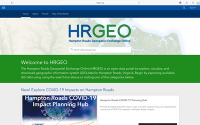
Hampton Roads Geospatial Exchange Online (HRGEO)
Developed By: Hampton Roads Planning District Commission (HRPDC), Hampton Roads Sanitation District (HRSD), and Hampton Roads Transportation Planning Organization (HRTPO)
Summary: HRGEO is a data portal that allows to users to view and download geographic, cultural, and population data in Hampton Roads, VA. Additional tools provided by this portal include recreation and resilience apps, sea level rise planning guidance, and various map products.
This tool allows users to explore, visualize, and download geographic information systems (GIS) data for Hampton Roads, Virginia. The data and resources provided by this tool are classified into 10 categories: boundaries, civic, coastal resiliency, demographics, environment, planning, property information, recreation, transportation, and water resources. Data within the portal is classified as HRPDC/HRTPO layers (data from the HRPDC/HRTPO) or as regional collaborative layers (data gathered from other localities in Hampton Roads). While data are available at a local level, users should be aware that not all the available data have been evaluated for accuracy.
Get This Tool: https://www.hrgeo.org/
Geographic Coverage
- Chesapeake City, VA; Franklin City, VA; Gloucester County, VA; Hampton City, VA; Isle of Wight County, VA; James City County, VA; Newport News City, VA; Norfolk City, VA; Poquoson City, VA; Portsmouth City, VA; Smithfield, VA; Southampton County, VA; Suffolk City, VA; Surry County, VA; Virginia Beach City, VA; Williamsburg City, VA; York County, VA
Available Tools
- Hampton Roads Geospatial Exchange Online: Hampton Roads Sea Level Rise Planning Scenarios (Raster)
- Hampton Roads Geospatial Exchange Online: Hampton Roads Resilience Projects Dashboard
Cost
- Free
Skill Level
- Medium