Chesapeake Bay Climate Adaptation Toolbox
Operational Forecast System
Developed By: National Oceanic and Atmospheric Administration (NOAA)
Summary: The National Operational Coastal Modeling Program (NOCMP) developed and operates a national network of Operational Nowcast and Forecast Hydrodynamic Model Systems (called OFS). An OFS consists of the automated integration of observing system data streams, hydrodynamic model predictions, product dissemination and continuous quality-control monitoring. State-of-the-art numerical hydrodynamic models driven by real-time data and meteorological, oceanographic, and/or river flow rate forecasts form the core of these systems. The OFS performs nowcast and short-term (0 hr. - 48 hr.) forecast predictions of pertinent parameters (e.g., water levels, currents, salinity, temperature, waves). Regions covered include the Atlantic, Gulf of Mexico, Great Lakes, and the Pacific.
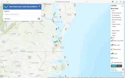
Get This Tool: https://tidesandcurrents.noaa.gov/models.html
Geographic Coverage
- Coastal Delaware; Maryland; Virginia
Available Tools
- Operational Forecast System: Chesapeake Bay Operational Forecast System (CBOFS)
- Operational Forecast System: Delaware Bay Operational Forecast System (DBOFS)
Cost
- Free
Skill Level
- Medium