Chesapeake Bay Climate Adaptation Toolbox
Submerged Aquatic Vegetation (SAV) in the Chesapeake Bay
Developed By: Virginia Institute for Marine Sciences (VIMS)
Summary: The Submerged Aquatic Vegetation (SAV) in Chesapeake Bay tool provides access to recent and historical SAV monitoring data from the Virginia Institute of Marine Science SAV program.
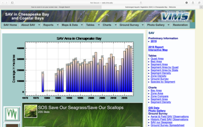
This tool allows users to access interactive maps, charts, and tables portraying annual changes in SAV density and distribution throughout the Chesapeake Bay, based on annual field and aerial surveys of SAV dating back to 1971. In the interactive map users can view recent and historical SAV aerial imagery and density and compare changes in SAV bed distribution over time. This tool also includes annual reports, graphics and images cataloguing changes in SAV over time. Advanced users can download shapefiles or tabular data for a specified time period for further analysis. Users may also contribute data to the tool by submitting detailed observations to an external Aerial and Field SAV Observations site or to the SOS (Save our Seagrass) Facebook page. Throughout the tool, users can find thorough documentation of procedures, resources, and additional reports about SAV in the Bay.
Get This Tool: https://www.vims.edu/research/units/programs/sav/access/maps/index.php
Geographic Coverage
- Coastal District of Columbia; Delaware; Maryland; Virginia
Tags
- Historical
- Location specific
- Regional level
- Website
- Interactive interface/map
- Downloadable data
- Downloadable results
- Yearly
Cost
- Free
Skill Level
- Medium