Chesapeake Bay Climate Adaptation Toolbox
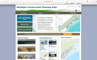
Northeast Conservation Planning Atlas
Developed By: Conservation Biology Institute
Summary: The Northeast Conservation Planning Atlas (CPA) is an online mapping platform where users can view, retrieve, and analyze spatial data for conservation planning in the Northeast US.
Through the CPA users can find a variety of maps and data from the tool’s extensive collection of biological, physical, and socioeconomic data. Although the tool includes a selection of premade maps, users can also create custom maps from the provided datasets and/or by uploading their own data. The CPA provides access to more than 4000 data layers, ranging from topics such as urban growth impacts to endangered species habitat distributions. Specific datasets can be found by a keyword search and genographic queries. While the focus of the Northeast CPA is on conservation, a variety of layers may be particularly helpful for conservation planning with respect to climate change. For example the tool contains a climate gallery with map layers of future projections for precipitation and temperature for multiple climate scenarios. Accessing available data and layers in the tool is free when users register for a free account, but users must request a paid subscription in order to utilize additional geospatial analysis features (e.g., buffers). Users may also easily save and export custom map products or download GIS data fur further analysis. The tool is relatively easy to use and includes a series of video tutorials and webinars to introduce new users to various features of the CPA.
Get This Tool: https://nalcc.databasin.org/
Geographic Coverage
- Delaware; Maryland; New Jersey; New York; Pennsylvania; Virginia
Tags
- Registration required
- Historical
- Real-time/Current
- Climate projections
- Regional level
- Toolkit/Tool Collection
- Interactive interface/map
- Compare scenarios/locations
- Downloadable data
- Downloadable results
Cost
- Free
Skill Level
- Medium