Chesapeake Bay Climate Adaptation Toolbox
Metropolitan Washington Air Quality Forecast
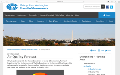
Developed By: Metropolitan Washington Council of Governments
Summary: The Metropolitan Washington Air Quality Forecast is a 3-part forecast, chart, and mapping tool that provides daily air quality forecasts for the Washington metropolitan area.
This forecast’s primary objective is to report the level of health concern due to air pollution. The Metropolitan Washington Air Quality Forecast uses the national Air Quality Index (AQI), a classification system created by the Environmental Protection Agency (EPA) that communicates how clean or polluted the air is. The tool’s “Level of Health Concerns” chart describes the implications of the air quality forecast by categorizing the related public health concerns. The provided charts and maps allow users to quickly and easily view current forecasts and recent observations of local air quality. Users can also view historic air quality data in calendar and table format dating to 1993, and are able to search for forecasts for specific locations.
The Metropolitan Washington Air Quality Forecast also provides links to educational resources that users can use to learn what factors affect air quality, how air quality affects human health, and policy approaches that Decisionmakers can use to improve air quality and human health.
Get This Tool: https://www.mwcog.org/environment/planning-areas/air-quality/air-quality-forecast/
Geographic Coverage
- Washington, DC; Takoma Park, MD; Prince George’s County, MD; Beltsville, MD; Rockville, MD; Montgomery County, MD; Charles County, MD; Frederick County, MD; Calvert County, MD; Alexandria, VA; Arlington County, VA; Prince WIlliam County, VA; Loudoun County, VA; Fairfax County, VA
Tags
- Real-time/Current
- Forecast
- Jursidiction based
- City level
- Website
Cost
- Free
Skill Level
- Low