Chesapeake Bay Climate Adaptation Toolbox
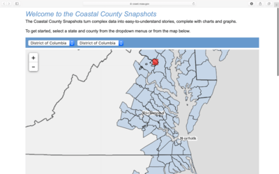
Coastal County Snapshots
Developed By: NOAA Office for Coastal Management
Summary: Providing detailed reports across the country this tool is useful for anyone seeking to understand their county’s flood risk, ocean-related job opportunities, and/or wetland benefits.
Coastal County Snapshots begins with an interactive map that allows users to find and choose their county. The open-source map leads users to reports that contain graphs and figures with short-term projections and current data on flood exposure, ocean jobs, and wetland benefits specific to the user’s selected county. This tool is connected to climate change by its incorporation of sea level rise and extreme weather event risks. Coastal County Snapshots requires a low expertise level and low effort level. Adobe Flash is required.
Get This Tool: https://coast.noaa.gov/digitalcoast/tools/snapshots.html
Geographic Coverage
- Coastal Contiguous United States
Tags
- Historical
- Jursidiction based
- County level
- Website
- Interactive interface/map
Cost
- Free
Skill Level
- Low