Chesapeake Bay Climate Adaptation Toolbox
Adaptation Workbook (Climate Change Response Framework)
Provide data and process support to bridge the gap between climate data and land managers
AdaptVA
Collection of tools and information on climate change adaptation for individuals, local programs, and agencies in Virginia
AirNow
Reports historical, current, and forecast air quality and fire conditions across North America.
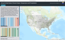
Annual United States Climate Stripes: Temperature and Precipitation
Artistic representation of Climate Change
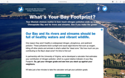
Bay Footprint Calculator
Calculates individual nitrogen contribution to the Chesapeake Bay.
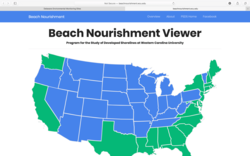
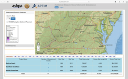
Beach Nourishment Viewer
Demonstrates location of past and current beach nourishment projects, number of nourishment episodes in one area, date of project completion, cost, and volume of the project.
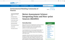
Better Assessment Science Integrating Point and Non-point Sources (BASIN)
BASINS purpose is to assist in watershed management and TMDL development by integrating data, tools, and models.
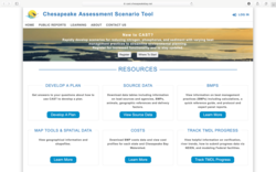
Chesapeake Assessment Scenario Tool (CAST)
CAST provides estimates of load reductions, allows users to understand which BMPs provide the greatest load reduction benefit, the extent to which these BMPs can be implemented, and the cost of these BMPs.
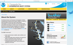
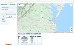
Chesapeake Bay Interpretive Buoy System (CBIBS)
Measures and records weather and water conditions within the Chesapeake Bay
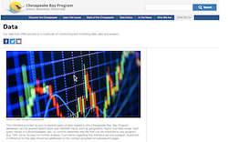
Chesapeake Bay Program Data
Datasets and tools related to water quality, living resources, submerged aquatic vegetation, nutrients, and more.
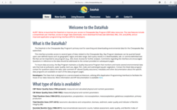
Chesapeake Bay Program DataHub
Datasets related to water quality, living resources, pollution, and fluorescence
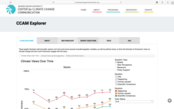
Climate Change in the American Mind (CCAM) Explorer
Display data on American climate change perceptions based on year and respondent characteristics
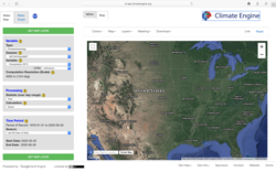
Climate Engine
Web application that generates maps and graphs using climate data from remotely sensed source data
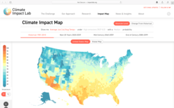
Climate Impact Map
Interactive map showing past and future temperature based different climate models
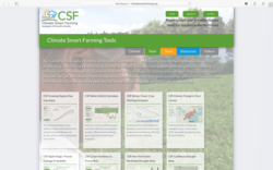
Climate Smart Farming
A toolkit designed to help farmers in the Northeast US improve their productivity and resiliency in the face climate change
Coastal Change Analysis Program (C-CAP) Land Cover Atlas
Interactive map showing changes in land use cover from 1996-2010 in coastal regions
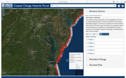
Coastal Change Hazards Portal
National map illustrating past, present, and projected coastal conditions
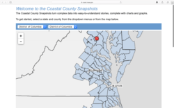
Coastal County Snapshots
The open-source map leads users to reports that contain graphs and figures with short-term projections and current data on flood exposure, ocean jobs, and wetland benefits specific to the user’s selected county.
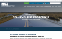
Coastal Inundation Predictions for Maryland
Projections of SLR and the predicted effects on the state of Maryland
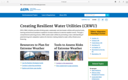
Creating Resilient Water Utilities
Support water utility practitioners in preparing for extreme weather events
DC Department of Energy and Environment Data & Maps
Provides information on how DC is tackling environmental and climate issues
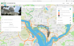
DC Flood Risk Map
DC flood map with layers for 1% annual flood, storm surge, and interactive SLR meter

DC Solar Tool
Calculates cost, federal tax credit, carbon offset, average revenue, and energy output of solar energy for residential and business roofs in D.C. area that are looking to create solar panel systems
Delaware Air Quality Forecast
Report the current conditions and next day forecast of Delaware Air Quality.
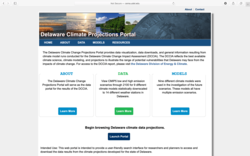
Delaware Climate Projections Portal
Climate projections for state of Delaware
Delaware Environmental Monitoring Sites
This tool inventories environmental monitoring stations in Delaware and provides links to access corresponding data and find data of interest.
DGIF Wildlife Action Plan
Virginia’s 2015 Wildlife Action Plan contains ecological data and conservation plans for hundreds of species. The plan has reports and interactive maps that make ecological data available on a planning district commission-level. Locality-specific reports document conservation needs in communities, with prioritized actions for locally threatened species.
Drought Management Database
Resource database related to drought mitigation strategies
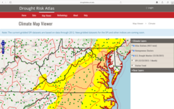
Drought Risk Atlas
View drought indices to assess national drought risk on map or for specific weather stations of United States
Drought-Applied Climate Information System (ACIS)
Interactive chart to view precipitation / temperature data for stations across the U.S.
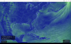
Earth::Global wind patterns
A fantastic visualization of climate, atmospheric, and oceanic data for educational purposes.
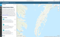
Eastern Virginia Coastal Resilience (ESVA Coastal Resilience)
Decision support tool to assess coastal resilience in Eastern Virginia
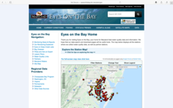
Eyes On The Bay
Website providing Maryland water quality data and information
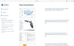
FEMA Data Visualizations of Disaster Declarations and Grants
Visualize FEMA data regarding natural disaster occurrence, flood frequency, and housing assistance at the national, state, county, and tribal level.
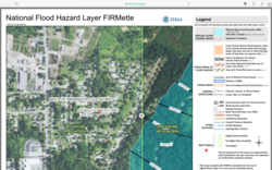
FEMA’s National Flood Hazard Layer (NFHL) Viewer
Display FEMA-delineated flood hazards through Flood Insurance Rate Maps (FIRMs) and revisions to FIRMS via Letters of Map Amendments and Letters of Map Revisions (LOMRs)
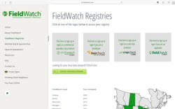
FieldWatch
Platform for beekeepers, farmers, and pesticide applicators to communicate and share information
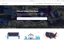
FloodFactor
Map of tidal and hurricane flooding under present and future scenarios
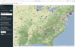
Future Urban Climates
Interactive map illustrating climate migration of US cities in the next 60 years
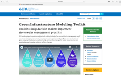
Green Infrastructure Modeling Toolkit
A collection of models and tools for communities to manage water runoff in urban and other environments
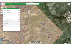
Green Infrastructure Practices in the District
Interactive map with filtered layers that highlights existing best management practice projects and provides the known specifications of projects
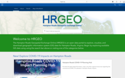
Hampton Roads Geospatial Exchange Online (HRGEO)
Provides data about the demographics, infrastructure, and natural resources in Hampton Roads. Also includes some map viewers and web apps to interact with the data
Headwaters Economics Neighborhoods at Risk
Assessment of neighborhood risk based on census tracts and FEMA flood maps
i-Tree
A collection of tools to evaluate the benefits of local tree species by assessing their economic value and benefits over time.
Introduction to FEMA Coastal Floodplain Mapping
How to guide for reading and using floodplain maps created by FEMA > Flood Insurance Rate Maps (FIRMs) & Flood Insurance Study (FIS)
Know Your Zone
Allows residents of coastal Virginia to identify their evacuation zone in preparation for severe weather conditions during annual hurricane season

Mapping Social Vulnerability of Fishing Communities
National map of social vulnerability in fishing communities
MARISA Data Tools
Collection of tools and information on climate change for individuals, local programs, and agencies in the Mid-Atlantic region
Maryland Coastal Atlas
Create maps and graphs presenting coastal and ocean data in Maryland
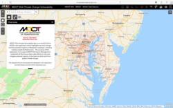
MDOT Climate Change Vulnerability
Illustrates the specific roads that will experience inundation due to predicted storm events. Displays projected water depth grids
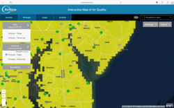
Metropolitan Washington Air Quality Forecast
Report the current conditions and 2 day forecast of the Washington D.C. Air Quality
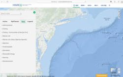
Mid-Atlantic Ocean Data Tool
The Mid-Atlantic Ocean Data Portal is a resource center consisting of an interactive map, data layers, case studies, and collaborative tools that allows users to explore and share visualizations of coastal and social resources between New York and Virginia.
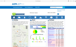
My Environment
A tool dashboard providing health and environmental quality assessments for the chosen locality
National Beach Nourishment Database
Demonstrates location of past and current beach nourishment projects, number of nourishment episodes in one area, date of project completion, cost, and volume of the project.
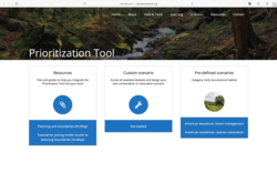
Nature’s Network Prioritization Tool
Modeling tool for conservation areas of high priority
NOAA State Climate Summaries
Summaries for each state regarding historical climate change and future climate projections
Northeast Conservation Planning Atlas
View, create, and collaborate with other users on maps to visualize biological, physical, and socio-economic information about the Northeast.
OpenNSPECT
*Map surface water runoff volumes, pollutants, and total sediment loads *Identify areas that might benefit from changes to proposed development strategies *Analyze land use change scenarios and impacts
Operational Forecast System
A national network of real-time information about water levels, wind, water temperature, salinity, and currents.
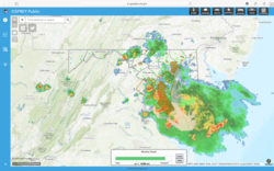
OSPREY Public
Report current meteorological and infrastructure (electricity, traffic, shelters) conditions to aid emergency response planning for both citizens and professionals.

PINEMAP
PINEMAP contains 13 total tools dealing with loblolly pine trees in Southeastern US across four categories: Environment, Establishment, Management, and Production.
Potomac Inundation Maps
Real time data showing storm-based flood potential for the Potomac and Anacostia Rivers around the DC area
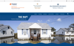
Resilience Adaptation Feasibility Tool (The RAFT)
Provides independent, objective assessment of locality resilience in coastal Virginia.
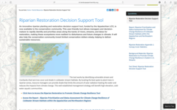
Riparian Restoration Decision Support Tool
Guide restoration efforts in identifying high priority areas by generating different scenarios for riparian habitats in the Eastern U.S.
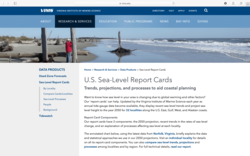
Sea Level Report Cards
Illustrate trends and projected sea level rise
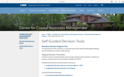
Shoreline Management Self-Guided Decision Tools
Decision tree that provides shoreline management recommendations
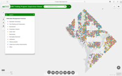
SRC Trading Program Impervious Viewer
This map shows impervious surfaces within Washington D.C. intended to help users recognize areas where SRC practices can be implemented.
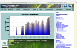
Submerged Aquatic Vegetation (SAV) in the Chesapeake Bay
Monitor SAV growth in the Chesapeake Bay
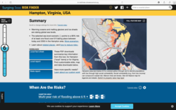
Surging Seas Risk Zone Map (SSRZM)
National scale map that highlights flooding along coastal areas with SLR from 1-10ft, social demographic layers. The tool also includes localized fact sheets and detailed reports with flood impacts and resilience efforts individuals may take.
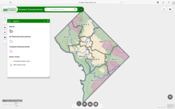
Targeted Subwatersheds
Map of D.C. sewers and subwatersheds

United States Drought Monitor
Current and historical (through January 4, 2000) drought comparison mapping tool of continental U.S., Alaska, Hawaii, and territories
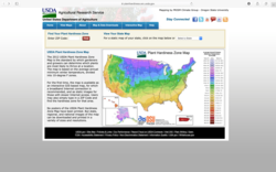
USDA Plant Hardiness Zone Map
National, regional, and state maps detailing plant hardiness zones
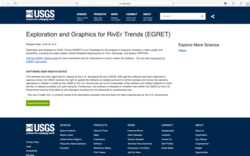
USGS Exploration and Graphics for RivEr Trends (EGRET)
R package for evaluating changes in river conditions
USGS Geo Data Portal (GDP)
Provide data on climate, geological processes, and meteorology
USGS National Water Dashboard
Visualize steam and weather data
USGS StreamStats
Streamflow data, trends, and analyses from USGS gaging stations.
USGS Water Data for the Nation
Clearinghouse of all USGS-hosted water data across the country, including water temperatures, levels, flows, groundwater tables, and a host of other physical and chemical parameters.
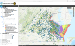
Virginia Coastal Geospatial and Educational Mapping System (GEMS)
Ongoing inventory of features from Virginia’s coastal ecosystems with each feature accompanied by supporting information
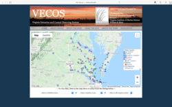
Virginia Estuarine and Coastal Observing System (VECOS)
Provides access to water quality and meteorological data from a variety of monitoring programs conducted by the Chesapeake Bay National Estuarine Research Reserve (CBNERR) in Virginia

Virginia Flood Risk Information System (VFRIS)
Interactive flood maps to determine if property is within a FEMA flood risk zone.
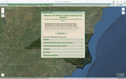
Virginia Wetland Condition Assessment Tool (WetCAT)
Method of assessing wetland’s ability to perform ecosystem services.
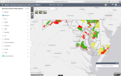
Water Quality Assessment and TMDLs
Provide water quality assessment and TMDL information. Show the spatial relationship of how each intersect
Wetbud: Wetland Water Budget Modeling Software
Water budget projections for created and natural wetlands